Link to Home page
Figure of Have your say

Your feedback, comments and complaints help us to better understand and address community or industry concerns.

Environmental management

Drones are helping to manage and protect Australia’s native flora and fauna.

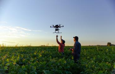
The Department of Agriculture, Fisheries and Forestry are using drones to collect accurate forest data to improve forest planning and management processes. Drones are capable of cheaper, faster and more precise data collection than traditional methods. Drones are also used to improve fire control and manage at-risk species in forests.

Drone use in environmental management

Scientists are using cameras on drones to map large stretches of riverbanks. Drone imagery allows scientists to assess changes to riverbank vegetation, map river heights and monitor bank erosion with greater accuracy. This has allowed water managers to avoid bank damage and improve riverbank vegetation.

Drones with cameras and thermal sensors can assist researchers with finding, counting and managing koalas across Australia and monitoring coral reefs to collect information about water quality, temperature and coral health to inform policy decisions.