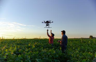
The agriculture, forestry and fishing industries offer the largest potential for cost savings and improvement in productive processes to improve agricultural yields, with forecast savings ranging from $310 to $940 million in 2040 (Deloitte Access Economics, 2020).
Drones are assisting farmers across Australia to manage water and assets, such as livestock, buildings and dams. For instance, drones can map water flow to determine dam placement, survey crops to identify areas of low yield or predict future yields, and distribute fertilisers to support better crop outputs. Aerial photography can also identify weed infestations, which can be followed up with ground analysis to determine specific soil or pest issues. Drones can improve the accuracy of pesticide and herbicide delivery, which reduces excess spraying and the potential impacts of runoff on local ecosystems.
In primary produce industries, high-tech drones are allowing operators to automate some processes such as planting, livestock management or spraying crops. These potential drone uses are leading a new branch of agricultural processes, sometimes referred to as precision agriculture.
